RCMRD
COP 16: A Milestone in Global Biodiversity Action and RCMRD’s Role
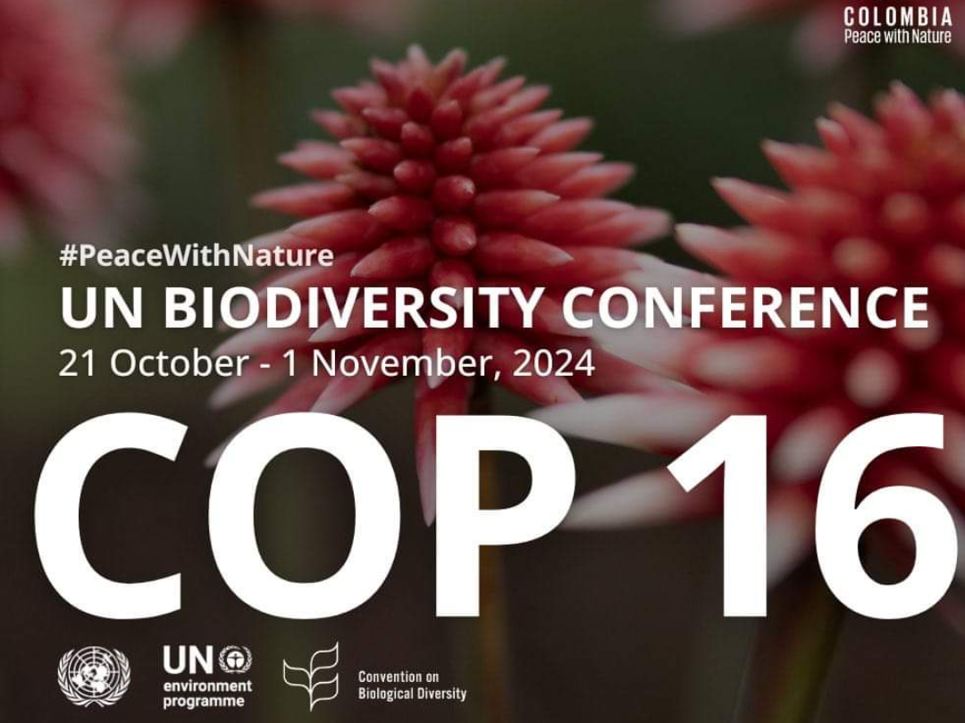
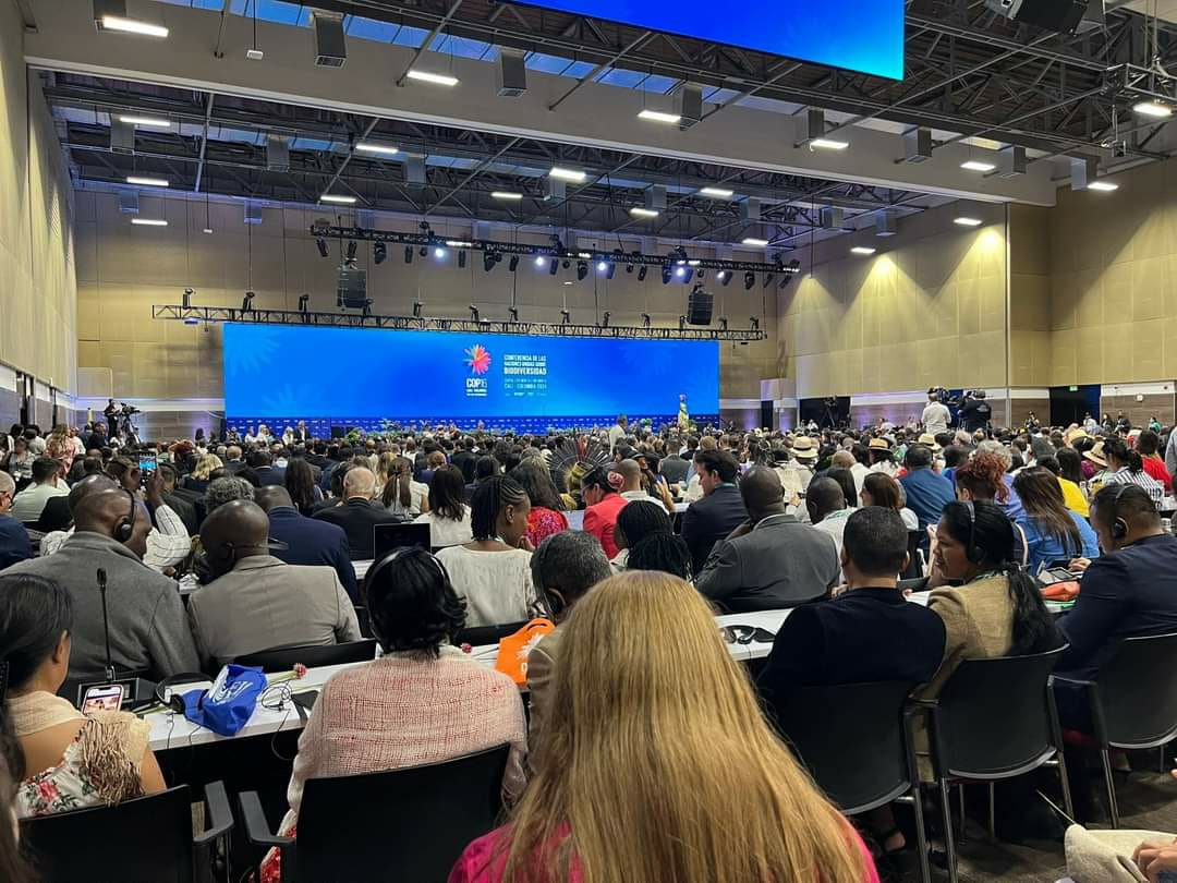
As the world gathers in Cali, Colombia, for COP 16, António Guterres’ opening speech serves as a powerful reminder of the need for collective action to address the biodiversity crisis. COP 16 is a pivotal moment where global leaders and stakeholders aim to push forward the goals of the Kunming-Montreal Global Biodiversity Framework.
Why COP 16 Matters
Guterres emphasized that the health of our planet is deteriorating, and biodiversity plays a key role in sustaining life. The decisions made at COP 16 will not only influence environmental policies but will also shape the future of sustainable development and ecosystem restoration. It is a call to move from words to measurable, science-driven actions to reverse biodiversity loss.
RCMRD’s Contribution
At RCMRD, we are committed to supporting biodiversity monitoring across Africa by leveraging our geospatial technologies. Through our Regional Centre of Excellence (RCoE), we provide real-time data to help countries track ecosystem health, deforestation, and conservation progress. Our role in supporting African nations to meet global biodiversity targets aligns perfectly with the framework set at COP 16.
By fostering data-driven decision-making, capacity-building initiatives, and regional cooperation, we are advancing solutions to preserve Africa’s natural resources. The launch of the RCoE Geoportal is a significant step in creating a platform for collaboration and information sharing, enabling more effective conservation efforts across the region.
Looking Ahead COP 16 provides us with an opportunity to reaffirm our commitment to global biodiversity goals. As RCMRD, we will continue to work with our partners to drive positive environmental impact, ensuring a future where both people and nature can thrive.

The Regional Centre for Mapping of Resources for Development (RCMRD) successfully hosted a workshop that brought together experts and stakeholders from 24 African countries to discuss the future of biodiversity conservation in Africa. The workshop, which focused on biodiversity, forests, and seascapes, provided a platform for knowledge exchange and the introduction of innovative geospatial technologies. The event also marked a significant milestone—the official launch of the RCoE-ESA Geoportal, a cutting-edge tool aimed at enhancing data access and decision-making for biodiversity conservation across the continent.
Empowering Conservation Efforts Through Data
With the increasing threats to Africa's biodiversity, from habitat loss to climate change, the need for robust data and tools to monitor and conserve ecosystems has never been more critical. The Data and Information Engagement workshop aimed to address these challenges by equipping participants with the skills and knowledge needed to leverage geospatial technologies to manage and protect biodiversity. Over the course of the workshop, participants engaged in discussions and hands-on training on the use of remote sensing, GIS, and data-driven approaches to biodiversity monitoring.
The event attracted participants from the 24 participating countries from Eastern and Southern Africa. The mix of the participants were conservation professionals, government representatives, NGOs, and academic researchers, all of whom shared insights and practical solutions to the growing concerns of biodiversity loss, deforestation, and marine ecosystem degradation. The collaborative nature of the workshop emphasized the importance of partnerships in achieving the goals of the Kunming-Montreal Global Biodiversity Framework
The Launch of the RCoE-ESA Data Geoportal
A highlight of the workshop was the official launch of the RCoE Geoportal. This innovative platform serves as a hub for geospatial data, providing users with access to real-time environmental data, satellite imagery, and analytical tools. Designed to facilitate biodiversity conservation, the Geoportal allows stakeholders from African governments, NGOs, and research institutions to access critical data for informed decision-making.
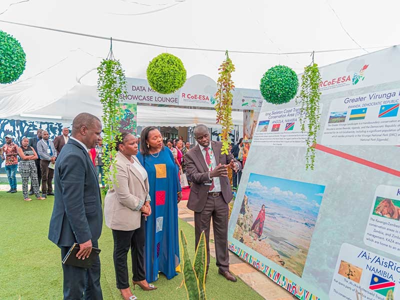
As a way of validating and verifying the (geographical) location of the protected and conserved areas as well as the statistics linked to the Kunming Montreal Global Biodiversity Framework target 3, the organizer set up a data mural showcase that provided a visual compelling graphics for the participants to engage with the technical team.
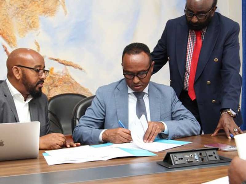
Speaking during the launch, Dr. Emmanuel Nkurunziza, Director General of RCMRD, emphasized the transformative potential of the Geoportal: “The RCoE-ESA Geoportal represents a significant step forward in our mission to support sustainable development in Africa. By providing open access to reliable geospatial data, we are empowering countries to better manage their natural resources and strengthen biodiversity conservation efforts.”
A Game Changer for Africa’s Conservation Landscape The Data Geoportal is expected to play a key role in supporting the implementation of national and regional biodiversity strategies. By offering users access to a wide range of datasets, including land cover maps, biodiversity indices, and deforestation trends, the portal serves as a vital resource for conservation planning and monitoring. It also facilitates cross-border collaboration, allowing countries to share data and best practices for sustainable environmental management. The data geoportal can be accessed using this link: https://rcoe-geoportal.rcmrd.org/
Next Steps and Continued Engagement
As the workshop ended, participants expressed optimism about the role of the Geoportal in addressing the challenges of biodiversity conservation in Africa. They highlighted the importance of continued capacity building and regional cooperation in utilizing geospatial technologies to protect the continent’s diverse ecosystems.
Looking ahead, RCMRD will continue to work closely with its partners to enhance the capabilities of the Data Geoportal and support countries in meeting their biodiversity conservation goals. Through the continued use of evidence-based data-driven solutions, Africa is better positioned to safeguard its natural resources for future generations.
The RCoE-ESA will generate a map book where all the maps showcased at the regional level and national level can be accessed in both online and print version. The map book will be released next year as one of the publications that gives a spotlight on what the data is informing us on protected and conserved areas in the region.
Bndulgence diminution so discovered mr apartments. Are off under folly death wrote cause her way spite. Plan upon yet way get cold spot its week. Almost do am or limits hearts. Resolve parties but why she shewing. She sang know now
Bndulgence diminution so discovered mr apartments. Are off under folly death wrote cause her way spite. Plan upon yet way get cold spot its week. Almost do am or limits hearts. Resolve parties but why she shewing. She sang know now
Bndulgence diminution so discovered mr apartments. Are off under folly death wrote cause her way spite. Plan upon yet way get cold spot its week. Almost do am or limits hearts. Resolve parties but why she shewing. She sang know now


